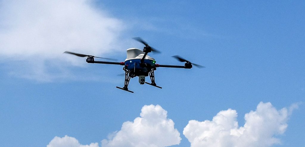
Venture LE is the evolution of our platforms from Venture to Surveyor: designed for the most demanding clients, we developed Venture LE entirely in-house.
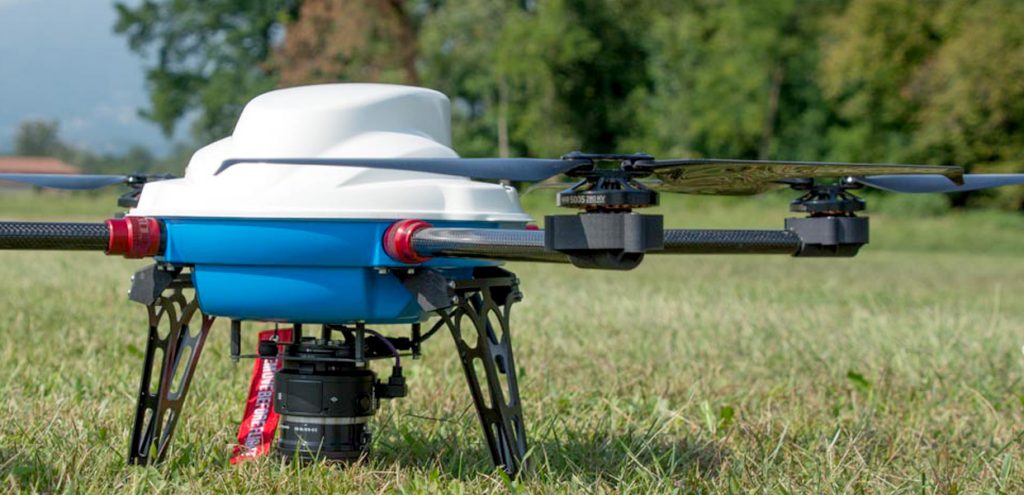
Venture LE is designed for ease of use: foldable arms and propellers for easy transport in the lightweight but sturdy shockproof bag, with footprint reduced to the size of a shoulder bag. Flight preparation time has been reduced to less than two minutes. Batteries are quick and easy to replace with our “plug-in” docking system.
Designed for daily use in harsh environments, it has a fully enclosed core body (made of carbon and 2024 alloy) for optimal protection from dust and rain.
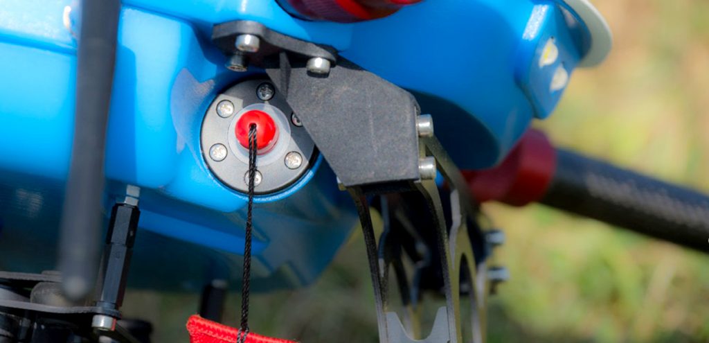
The magnetic ignition key, which controls the general electronic disconnect switch, prevents oxidation of the connectors and allows endless safe ignition cycles.
IS EQUIPPED WITH NAVIGATION LIGHTS (RED/GREEN/WHITE), COMPATIBLE FOR NIGHT FLIGHT. ANTI-COLLISION STROBELIGHTS ENSURE MAXIMUM VISIBILITY EVEN AT THE LIMIT OF THE ALLOWABLE OPERATING RANGE.
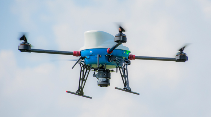
MAPPER VERSION
Developed for aeromap operations and industrial inspections. With the 20 Mpx nadiral camera, coverage of up to 10 ha per flight is possible. The camera is controlled directly by the autoguidance system, which executes the mission as automatically planned by the operator. The system can be supplied in conjunction with a Pix4D Mapper license.
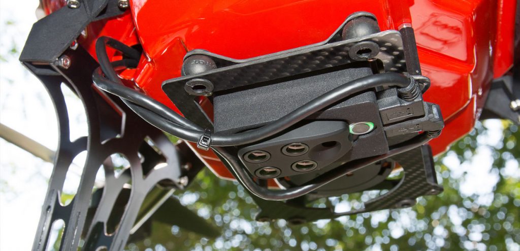
- Sony UMC R10C camera with 16 mm fixed focal length lens.
- Gimbal 10x full HD optics for industrial inspections.
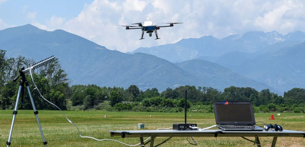
- High-performance serial point-to-point telemetry (minimum range 1 km). Range 10 km optional.
- High-quality manual control radio remote control with optical encoder joystick.
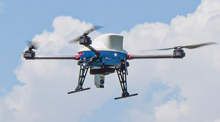
SAR VERSION
Developed for surveillance and missing person search applications, suitable for day and night operations. It features the Colibri HD V2 gyro-stabilized turret with 20x optical zoom and thermal sensor. The drone has automatic target tracking capabilities that only an irreplaceable aid to the camera operator drastically improving the effectiveness of the search mission.
- Diurnal zoom 20x/thermal 640×480 gyro-stabilized Hummingbird HD V2 sensor.
- Automatic subject targeting system.
- Fully digital 2.4 gHz telemetry and video transmission, IP link-based, 10 km range
- Manual radio control system 868 mHz, range 10 km
Maximum duration of 48 minutes in SAR version.
Maximum duration of 40 minutes in MAPPER version.
2.5 m/s climbing speed.
25/45 km/h typical/maximum cruising speed.
25 km/h maximum wind.
Eight re-configurable flight modes of operator’s choice.
User-programmable geo fences.
Advanced failure management.
Self-guidance system with 3 redundant, temperature-stabilized IMUs.
High-efficiency motors mounted on single dampers.
High-efficiency lithium-ion battery.
Laser altimeter for precision landing and terrain tracking flight (optional).
RTK L1 GPS receiver (optional).
RTk L1/L2 GPS receiver with on-board logger for PPK processing (optional).


